
THE TRADE ROUTES
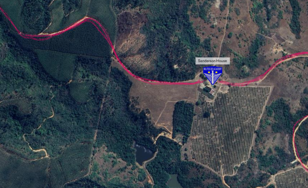
Here’s how it began and how Milites Dei Academy students explore and learn to complete 2D and 3D Mapwork in the Peebles Valley.
Gerrit Haarhoff in his book “Forgotten Tracks and Trails of the Escarpment and the Lowveld” writes Emil Cohen, a geologist and cartographer left Lydenburg on June 24, 1873, on foot with a pedometer and an aneroid barometer, together with a sophisticated Schmalkalden compass. Cohen notes Peebles on his 1875 map. Cohen was mapping the route from Lydenburg to Delagoa Bay. Compton and Hampson submitted a tender of £1000 to build the Delagoa Road on Sept 18, 1873, and they mention “Kliptopje” and “Peebles”.
Percy FitzPatrick in his book “Jock of the Bushveld” confirms this.
Mapwork at Milites Dei Academy requires every student to give all their attention. They learn how to read maps and roads when they hike and then must apply that knowledge when drawing a 2D map. Alongside that they create a 3D map where they have to use all natural resources to create a physical mock-up of the area. This teaches them creativity and to notice details other people wouldn’t.
See More: https://youtube.com/shorts/_eRnpMM_PPk?si=1eNwzs1iKzmYFbAS


Facebook Comments