3-Dimensional Terrain Model or Sand Table
3-Dimensional Terrain Model or Sand Table
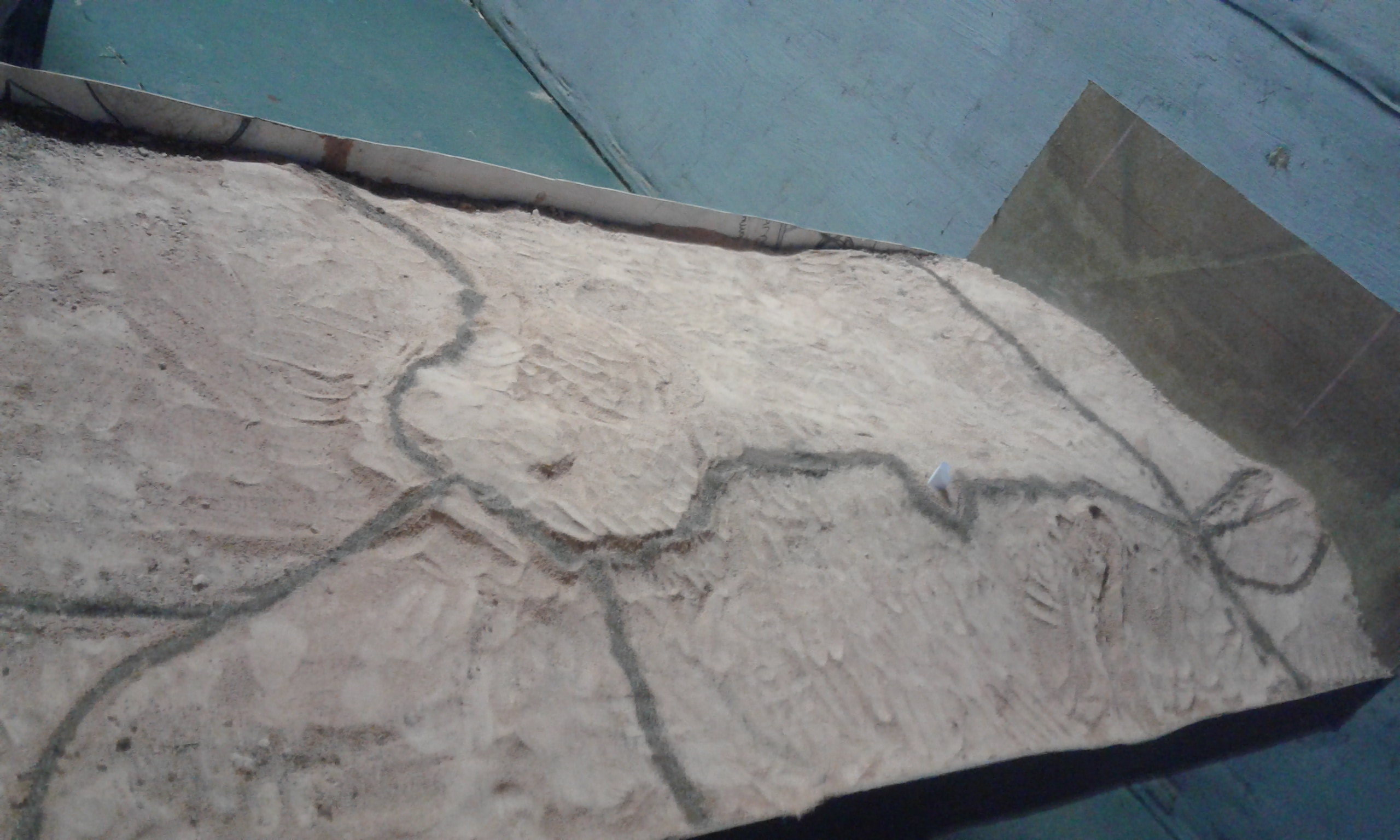
3-Dimensional Maps or Sand Tables
Pinterest explains that sand tables are something not many people have heard of before. However, man has used sand tables for centuries. In the early days, sand tables have been used for educational and military purposes (available at https://za.pinterest.com/mapmodels/terrain-modeling/).
Sand tables have been used for military planning and war gaming for many years as a field expedient, small-scale map, and in training for military actions. In 1890 a Sand table room was built at the Royal Military College of Canada for use in teaching cadets military tactics; this replaced the old sand table room in a pre-college building, in which the weight of the sand had damaged the floor. Today, virtual and conventional sand tables are used in operations training.
At Milites Dei students participate in the making of a map of the area using a sand table. This is not only hard work but fun as well. It is the ideal way to really understand one’s surrounding areas.
Leave a Reply
Want to join the discussion?Feel free to contribute!